Pointerra to share world-class 3D bird’s-eye view of Perth; shares up 7pc

Pic: nespix / iStock / Getty Images Plus via Getty Images
3D aerial data of Perth will soon be available at the click of a button as the first location for Pointerra’s 3D data marketplace.
The geospatial imaging tech has so far focused on the processing and access of large 3D datasets – but today launched a marketplace that will allow for government agencies and companies to get a highly accurate bird’s-eye view of the city.
Geoscience group Total Earth Solutions will fly over Perth to capture the data while Pointerra will host the data set. The two then sharing the subscription revenue generated from the sale of access.
They say it will be an asset to the private sector for companies in architecture, engineering or construction as well as government. Plans call for expansion from Western Australia to other Australian and Oceania markets.
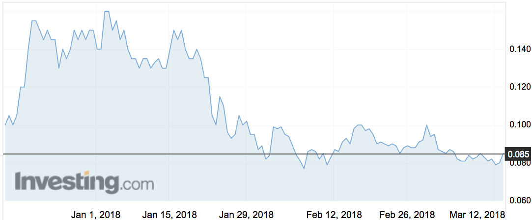
Investors were buoyed by the news. The stock gined 7 per cent in early trade at 8.5c.
“For years capture companies like TES have delivered 2D mapping products to customers that have been derived from 3D data capture programs,” managing director Brett Johnson said.
“Pointerra’s revolutionary cloud platform allows us for the first time to be able to sell access to the high-fidelity 3D data under a recurring subscription model.”
TES have advised that the first dataset should be ready in the next two months, with monthly revenues expected to flow from this time.
“We expect to extend the scale and reach of the 3D Data Marketplace both in the Australasian region and internationally in conjunction with the rapid scaleup of our operations,” 3DP managing director Ian Olson said.
Related Stories


UNLOCK INSIGHTS
Discover the untold stories of emerging ASX stocks.
Daily news and expert analysis, it's free to subscribe.
By proceeding, you confirm you understand that we handle personal information in accordance with our Privacy Policy.